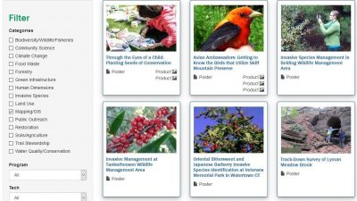
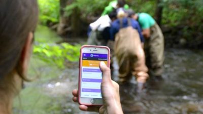
Conservation Projects
View all the past Natural Resources Conservation Academy projects in one place! Use the filter options to browse projects based on keyword/topic, program, project location and type of technology used.
NRCA Projects |
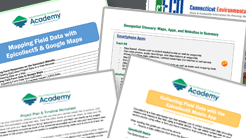
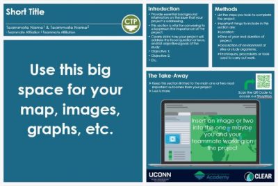
Project Templates
Use our templates to brainstorm, plan & design your own custom-tailored Wildlife Monitoring, Trail Mapping, Invasive Plant Species or Water Quality conservation project. Prefer to think outside the box? Use our Choose Your Own Adventure template!
Project Templates |
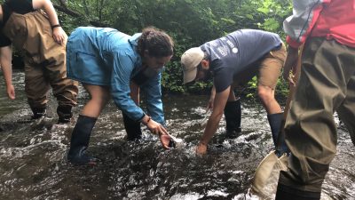
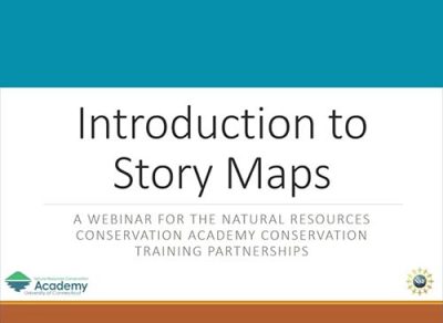
NRCA StoryMap
An ArcGIS StoryMap showcasing community conservation projects from past Natural Resources Conservation Academy participants and the geospatial tools and technology used to enhance project outcomes.
NRCA StoryMap |
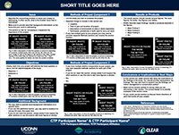
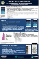
Final Project Form
Fill out this short form to provide a summary of your CTP project so we know what you accomplished. It will magically autogenerate a poster of your project that you can then customize and edit with photos and other graphics.
Final Project Form |


