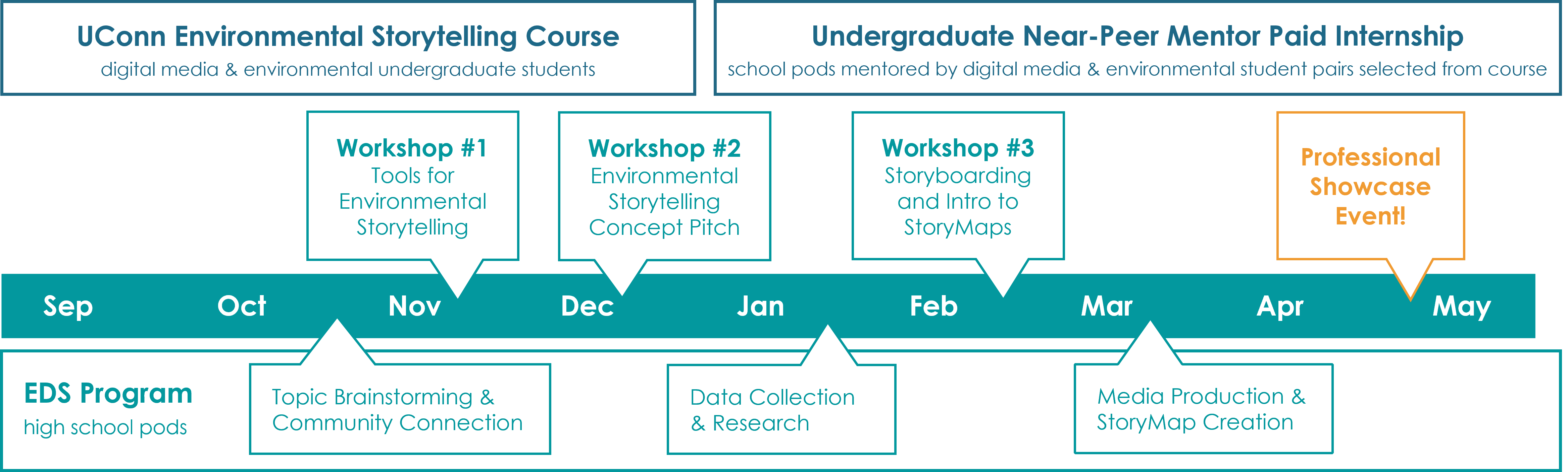
UConn Course & Internship
Environmental Storytelling
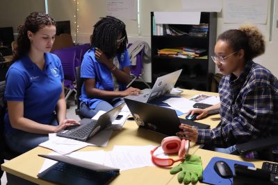
As part of the EDS program, this course works in tandem with our school pods, exploring similar content while preparing undergraduate students for the opportunity to work with high school students in a near-peer mentorship position. Undergraduate students in this course will experience a unique approach to environmental action!
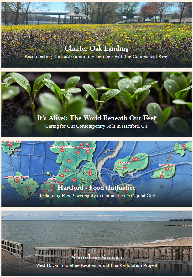
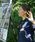
Framed in culturally-sustaining strategies and focusing on environmental issues relevant to Connecticut communities, the Environmental Storytelling course introduces students to participatory research and environmental storytelling using digital media and geospatial technology. The course brings together faculty, students, and guest lecturers with a diverse range of expertise and interest in environmental science, arts, geospatial technology, filmmaking, science education, and digital media. In this way, the class design embraces the idea that the class experience will be enriched by the diverse cultural and disciplinary backgrounds of all participants.
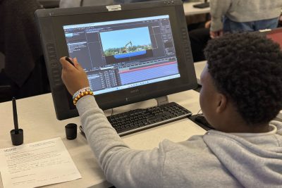
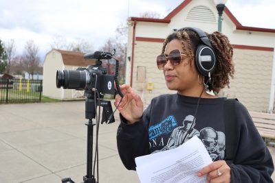
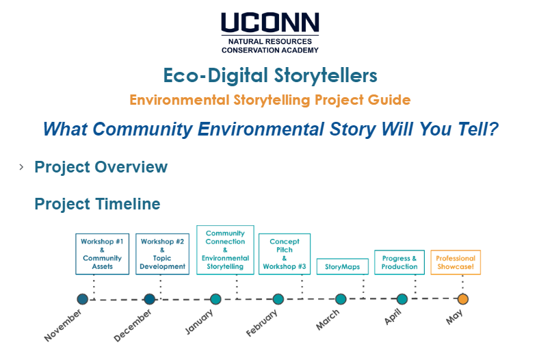
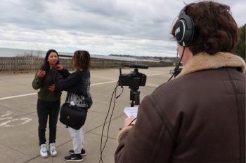
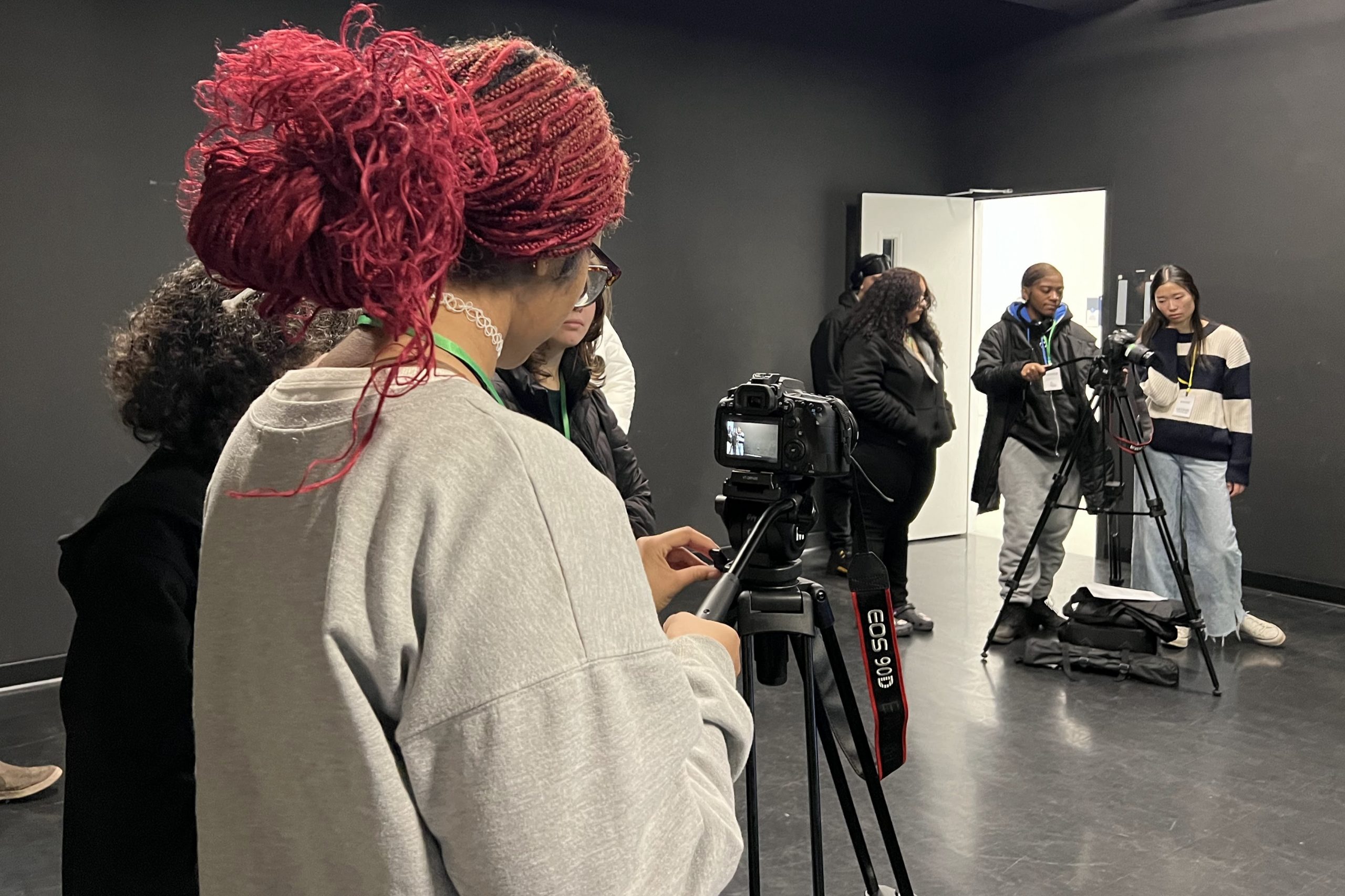
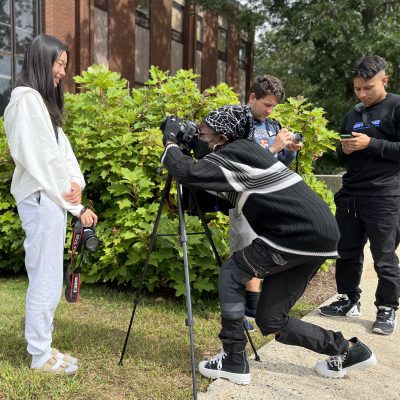
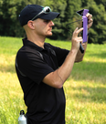
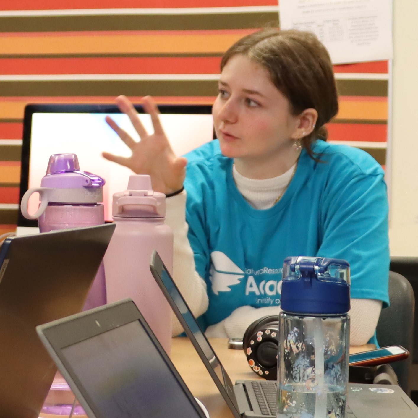
Through hands-on activities, demos, lectures, and discussions, students will develop skills in research and data collection, effective visual storytelling, video, animation, and online mapping. Throughout the semester, students will contribute to workshops for high school student-teacher teams in the Eco-Digital Storytellers (EDS) program and collaborate on a team project that assesses environmental assets and concerns, explores possible solutions, and uses multimedia storytelling to envision an environmental future.